Čadca - Skalité - Oščadnica - Krásno nad Kysucou - Stará Bystrica - Vychylovka (60 km)
Situation: Kysucké Beskydy
Region: Žilina and environs
Starting point: Čadca, bus stop, railway station, parking lot, district Čadca.
Finishing point: Nová Bystrica-Vychylovka, bus stop, parking lot, district Čadca.
Route: Čadca - Skalité (16 km) - Oščadnica (12 km) - Krásno nad Kysucou (6 km) - Stará Bystrica (11 km) - Vychylovka (15 km)
Map: Kysuce - Horné Považie - Turiec, 1:100 000 (sheet 1), VKÚ a. s., Harmanec.
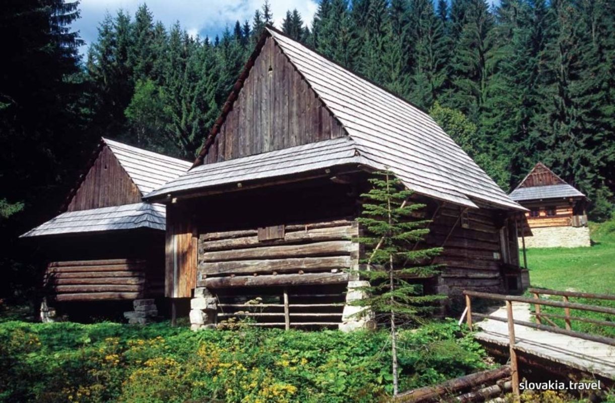
Description of the route: Moderately demanding trip with a number of ascents but also pleasant and rapid descents. It runs on asphalt and not very busy roads. It connects the northern part of Kysuce with the promontory of the mountains Kysucké Beskydy. It offers visits to several interesting tourist landmarks. The greatest attractions include the Museum of the Kysuce village in Vychylovka consisting of several historic structures moved here from different parts of the region, including the forest railway, the unique technical monument the only of its kind in Europe.
Source: Vydavateľstvo Dajama