Silica - Silická Jablonica - Jablonov nad Turňou - Hrhov - Zádiel (35,5 km)
Situation: Slovenský kras
Region: Gemer and Košice
Starting point: Silica, bus stop, parking lot, district Rožňava.
Finishing point: Zádiel, bus stop, parking lot, district Košice-okolie.
Route: Silica - Silická Jablonica (9 km) - Jablonov nad Turňou (7,5 km) - Hrhov (13 km) - Zádiel (6 km)
Map: Tatry - Spiš - Zamagurie, 1:100 000 (sheet 3), VKÚ a. s., Harmanec.
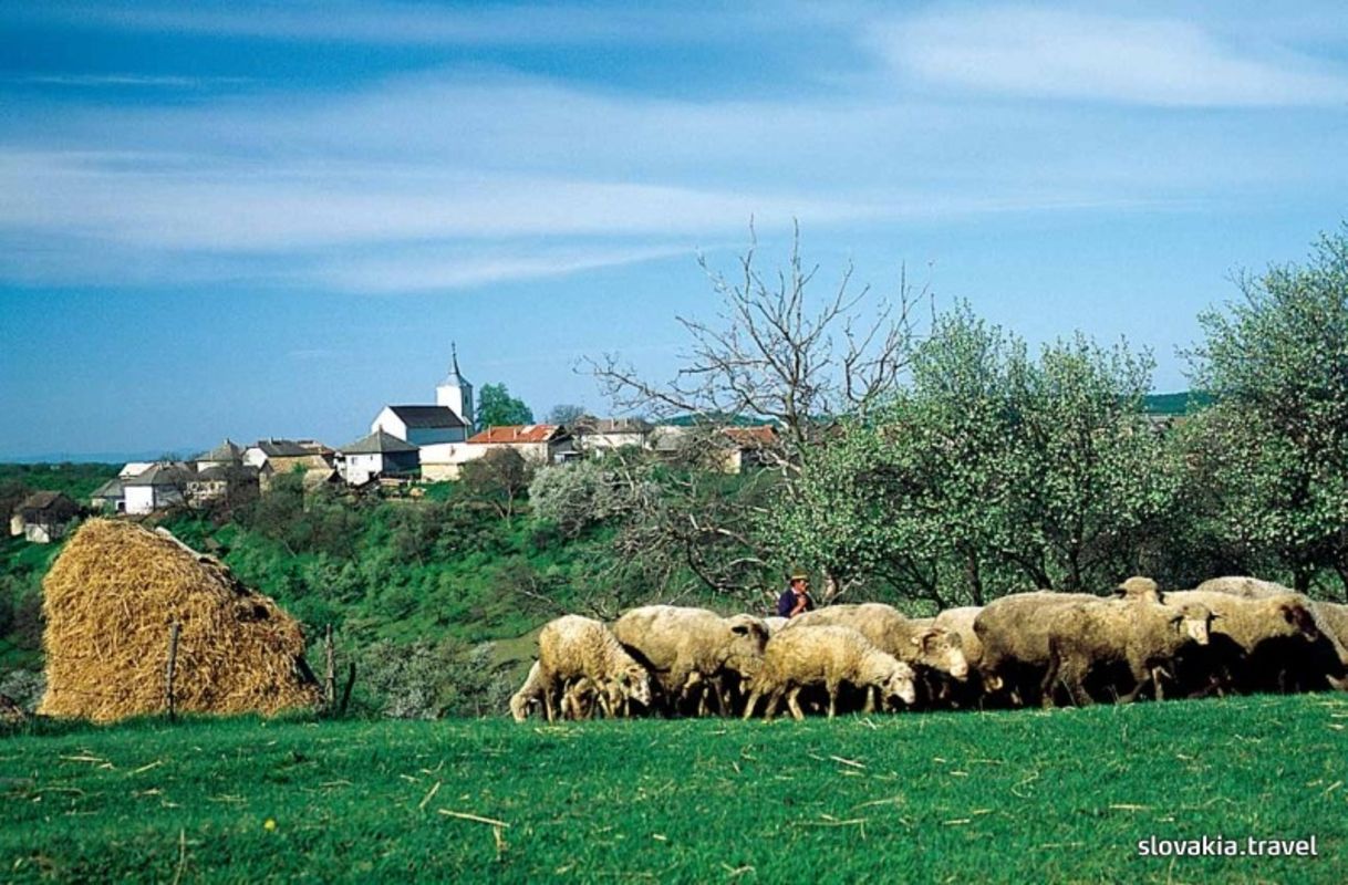
Description of the route: Comfortable route with attractive descent from the plateau Silická planina to the basin Turnianska kotlina.
The route heads to the forested slopes of the plateau Dolný vrch and it offers the views of another plain Horný Vrch dotted by karstic forms. It is surrounded by broad-leaved and coniferous woods. The aim of the trip is the village Zádiel, the starting point for hikers in the karstic narrow Zádielska dolina (only accessible to hikers!).
Source: Vydavateľstvo Dajama