Podbanské - end of the valley Tichá dolina - deviation to valley Kôprová dolina - end of the valley Kôprová dolina (19 km)
Situation: Západné Tatry
Region: Tatras
Starting and finishing point: Podbanské, bus stop, parking lot, district Poprad
Route: Podbanské - end of the valley Tichá dolina (11 km) - deviation to valley Kôprová dolina - end of the valley Kôprová dolina (8 km)
Map: Tatry - Spiš - Zamagurie, 1:100 000 (sheet 3), VKÚ a. s., Harmanec.
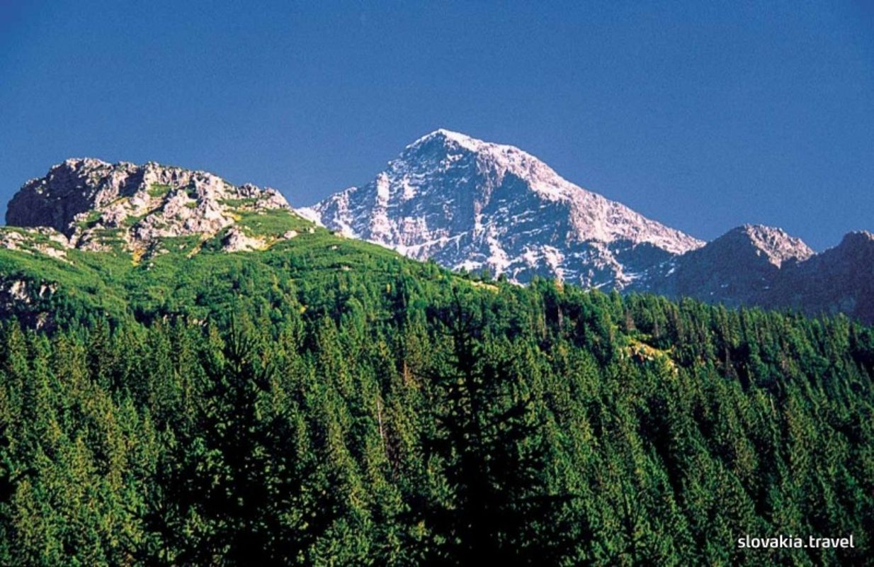
Description of the route: It is possible to divide the route into two parts. The first one runs in the valley Tichá dolina, the longest valley in the Tatras. Its name derives of that of the brook Tichý potok, which is unusually still (tichý= still). Moderate ascent (only 250 m of altitude difference along 8 km of the route) will please those who do not like abrupt ascents. The second part of the route runs through the valley Kôprová dolina, where the views in the western direction show the scenery of the mountain range Liptovské kopy and the dramatic curves of the massif of Kriváň on the other side of the valley.
Source: Vydavateľstvo Dajama